Submit out-of-the-box analytic tools or visualizations based on the data to help improve relocation trawling efforts.
Use this link to download the datasets for this challenge.
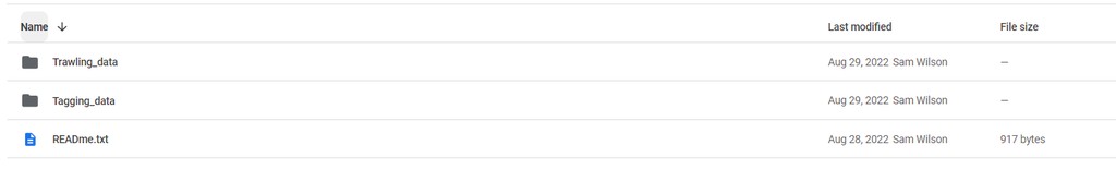
The 'Trawling_data' folder contains turtle relocation trawling data for two trawling locations (BA45 and BA143).
- Data includes; turtle capture locations/times, and release location/times, spatial datasets of turtle capture/release, spatial files showing dredging extent, and government reports explaining the methodology.
- See "Outline of Contents_BOEM_MMP_Caminada_SeaTurtle_Data.docx" for an explanation of file structure and contents.
The 'Tagging_data' folder contains output from two turtle tagging studies, one in the Gulf of Mexico and one in Cape Canaveral.
- In both projects turtles were tagged with IMU tags which include an accelerometer that measures acceleration in three axis (x,y,z), depth (in m), and temperature (in deg C).
- Magnometer and gyroscope data are not provided. A turtle can sleep/rest on the sea floor for between 20min - 4hours, so long periods of low activity can be assumed to occur on the sea floor.
View a full walkthrough of the data >