Explore
Challenges
For Business
For Startups
Who We Are
Results
Get Started
Launch a challenge
Connect with talented problem solvers
Solve a challenge
Join our community and win prizes
Log In
menu
log in
Explore Challenges
For Business
For Startups
Who We Are
Results
Submission
Jeremy Martinez, M.D.
introduction
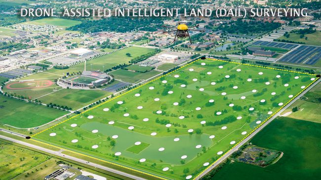
title
Drone-Assisted Intelligent Land (DAIL) Surveying
short description
The DAIL Survey uses remote-controlled aerial drones, imaging technology, and intelligent software to create automated ALTA/ACSM Surveys.
comments
(public)