Explore
Challenges
For Business
For Startups
Who We Are
Results
Get Started
Launch a challenge
Connect with talented problem solvers
Solve a challenge
Join our community and win prizes
Log In
menu
log in
Explore Challenges
For Business
For Startups
Who We Are
Results
Submission
Arwin J. Abaigar
introduction
title
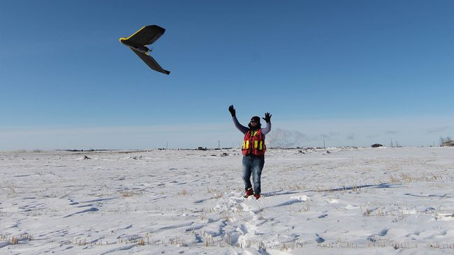
AUTOMATED ALTA SURVEY BY RECOGNIZANT DRONES
short description
To obtain quick but accurate ALTA land survey by use of drones, Google maps, image processing and character recognition softwares.
comments
(public)